![]()
Maps of the Garden District Neighborhood
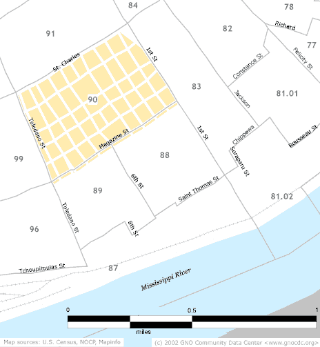
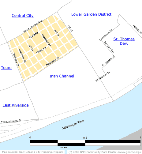
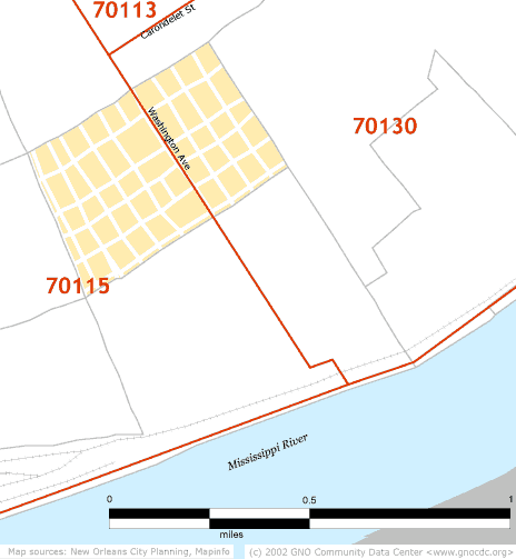
Neighborhoods in the Data Center web site are made up of Census tracts. This allows the easy combination of Census data to give accurate information at the neighborhood level. Below you'll find three maps. The first of these shows Census tract boundaries, the second is a street map with the neighborhood boundaries, and the third, just for comparison, shows the zip code boundaries that fall in this neighborhood.
Census tract boundaries
Street map boundaries
Zip code boundaries
![]()
|
Greater New Orleans Community Data Center Last modified: May 23, 2002 |