Access to resilient transportation in metropolitan New Orleans
Published: Aug 01, 2025
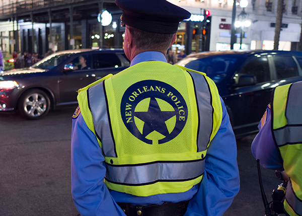
Transportation has always been central to New Orleans’ identity. The city exists where it does because of travel opportunities made possible by the Mississippi River, and waterborne commerce continues to be a major source of industry and jobs. The city’s iconic streetcars helped stretch settlements into new neighborhoods centuries ago, while continuing to beckon tourists today. Beginning in the middle of the 20th century, highways enabled the build-out of more suburban jurisdictions but left lasting barriers in many older, central neighborhoods where they were built.1
Introduction
Today, the metropolitan region confronts a new set of transportation demands. The regional population is now slightly below 1 million residents, meaning early 200,000 less people are moving around each day than before Hurricane Katrina and the failure of the federal levees in 2005.2 Continued suburbanization has stretched the distances between homes, offices, schools, and other activity centers. Worsening climate conditions pose an ever-growing threat to infrastructure operations and human security.
These shifting demands require residents, businesses, and government officials to reconsider whether the transportation networks of the New Orleans metro area are set up to deliver the connectivity they expect. The region is now overly built for the automobile, pushing households to shoulder the private burden of owning one or more vehicles, each of which can easily cost $6,000 a year just in operating costs.3 Transit operators continue to rebuild their services, but also are contending with fewer residents and businesses to carry the burden of increased operations or capital investments. Specific neighborhoods need extra protection from the kind of flooding that could physically isolate them, while every neighborhood needs ways to protect the travelers most exposed to extreme heat.4
Yet, there also are reasons for optimism. Planners at local transportation and land use agencies are aware of these constraints and have been conducting invaluable work to focus development along multimodal corridors, and upgrade neighborhood infrastructure to better manage storms and high-heat days. The business community and elected officials publicly back many of the same priorities.
The common theme across all these activities is a focus on resilience—delivering transportation networks that offer efficiency, affordability, and reliability for all users. When designed around these priorities, transportation both promotes economic opportunity and protects against economic and environmental shocks.
This report assesses those three foundational aspects of transportation resilience in metropolitan New Orleans, using original statistical analysis and reviews of official plans and strategies. It details where current networks are failing to uplift the region’s needs and identifies opportunities for improvement, including:
- Use direct public funding and tax incentives to prioritize transit service, right-of-way redesigns, and private real estate investments along higherdensity corridors flagged within existing long-term plans
- Urge officials and business leaders to ask state legislators to direct more transportation funding to the New Orleans metropolitan area
- Coordinate stormwater upgrades and extreme heat features such as tree canopies to align with both priority investment corridors and those neighborhoods with the highest rate of non-vehicle ownership
Overall, the report finds that key parties share a vision of what a more resilient transportation system looks like, but the region needs to adopt new public policies and secure significantly more financial capital to convert those ideas into reality.
Continue reading the full report [Download PDF]
Citations and sources can be found in the PDF copy of the report.
Endnotes
1 For one ongoing example of from the impact of highway construction, see “Connecting New Orleans East Project,” City of New Orleans, Department of Public Works, last modified July 10, 2025, 13:06 (CDT). Available at https://nola.gov/next/public-works/ projects/reconnecting-new-orleans-east-project/.
2 “Total population by parish for the New Orleans 7-parish metro,” The Data Center, March 13, 2025). Available at https://www.datacenterresearch.org/data-resources/population-by-parish/.
3 Brookings’ analysis of Bureau of Labor Statistics, 2023 Consumer Expenditure Survey data.
4 Louisiana Department of Transportation and Development and Louisiana State University AgCenter, LA Floodmaps, accessed June 2025. Available at http://maps.lsuagcenter.com/floodmaps/.